With this modernization, the new administration moves toward a digital, agile, and transparent system that strengthens mining institutions and opens up new development opportunities.
By Panorama Minero
Launch of the Mining Cadastre Modernization Project
The Ministry of Mining of the Province of San Juan has officially launched the Mining Cadastre Modernization Project, an initiative that marks a turning point in the management of provincial resources.
This transformation is based on a diagnostic study conducted by the World Bank, and is being carried out with support from the Federal Investment Council (CFI) and the consulting firm GPAC, responsible for the technical implementation.
The mining cadastre is the central tool for recording all information related to mining rights in San Juan. Until now, it faced technical limitations that hindered data updating, public access, and information security.
With this modernization, the new administration is moving toward a digital, agile, and transparent system that strengthens institutional capacity in the mining sector and opens new opportunities for development.
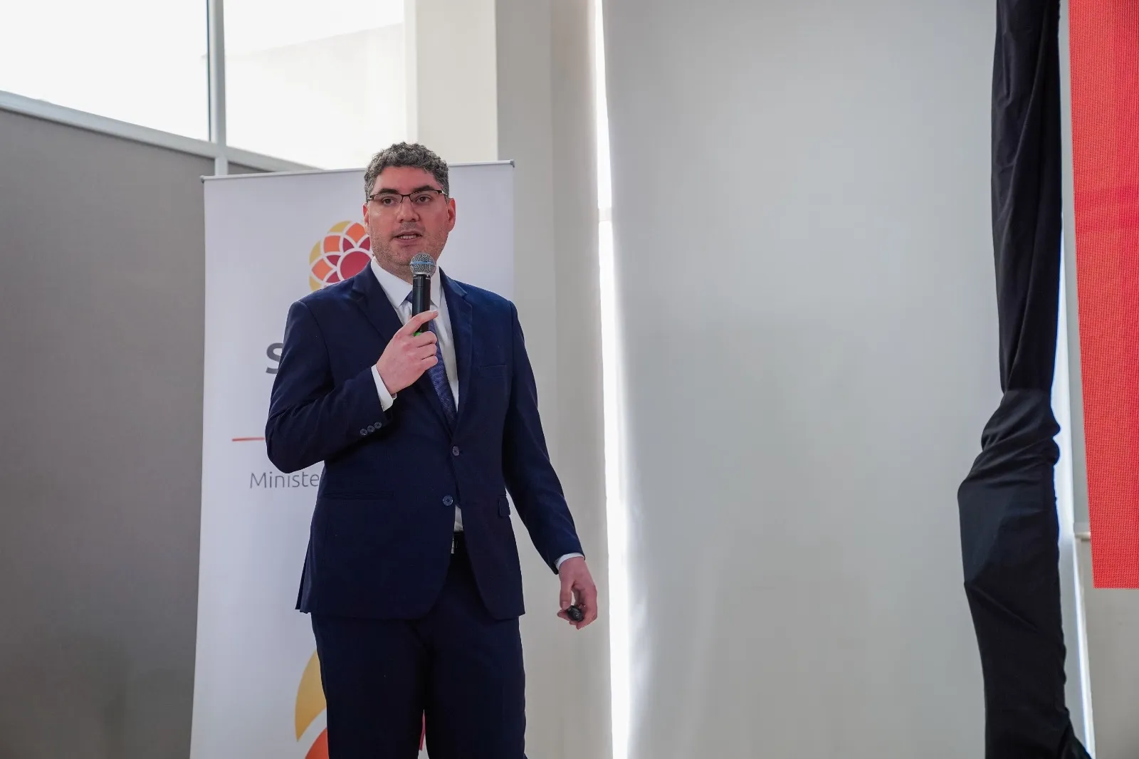
A Political Decision
“The digitalized mining cadastre is a political decision that strengthens transparency, creates new investment opportunities in our mining sector, and aligns with this administration’s commitment to modernizing the State,”
said Minister of Mining, Juan Pablo Perea, about the project.
Technical Implementation
The project involves migrating current graphical data — managed in AutoCAD — into a database hosted on government servers, enabling integration with the Mining Registry.
Additionally:
- A Geographic Information System (GIS) is being implemented, interconnected with other Ministry departments.
- A web-based viewer with automatic updates will allow real-time access to information while preventing overlaps, errors, and delays.
- This information will be integrated into the UNIDE portal (Provincial Spatial Data Unit), where users can view the map of San Juan with thematic layers.
The new system will include:
- Geographic and georeferenced data
- Spatial locations of mining rights
- Technical details of each title: holder, mineral type, surface area, survey status, file number, and more.
In short, it will serve as a graphical, accessible, up-to-date, and reliable version of the Mining Registry.
Compatibility and Standards
Regarding technical compatibility, Argentina uses the POSGAR (Argentine Geographical Positioning) system.
- Historically, POSGAR 94 was used.
- The current standard is POSGAR 2007.
The consulting firm has converted the data to ensure compatibility with both provincial bodies such as the Provincial Directorate of Geodesy and Cadastre, and national entities like the National Geographic Institute (IGN).
Tangible Benefits
The benefits of this modernization are tangible and extend to the entire society of San Juan:
- Increased transparency in the management of provincial resources.
- Legal certainty for investment that drives employment and development.
- Improved territorial planning for the benefit of local communities and producers.
- Optimization of public resources through free and efficient technologies.
- Integration of the mining cadastre with provincial and environmental data, enabling more comprehensive analyses.


