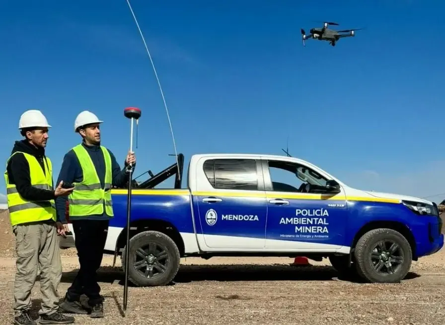
Mining oversight in Mendoza has entered a new technical phase. The Mining Environmental Police (PAM), operating under the Directorate of Mining, has incorporated drones to strengthen inspections and advance a monitoring system with greater precision over extracted volumes, material movements, and the evolution of active mining areas. The initiative relies on high-resolution aerial surveys and aims to establish digital records for active mining operations across the province.
By Panorama Minero
The new tool comes at a time when Mendoza has been tightening its oversight of third-category mining, particularly quarries and aggregate operations, a segment that has become the principal operational testing ground for the province's new mining inspection model over recent months.
This technological step significantly expands the scope of inspection. Through the use of drones, the mining authority will be able to generate orthophotos, digital elevation models, and three-dimensional reconstructions of inspected areas. This information will make it possible to establish baseline conditions, document the current status of each operation, and compare changes over time.
From an operational standpoint, the system enables large areas to be surveyed in just a few minutes, provides access to difficult terrain, and improves territorial coverage. It also makes it possible to identify topographic changes, calculate extracted volumes, and detect areas with potential geotechnical instability.
As a result, mining oversight will no longer rely exclusively on on-site inspections and will instead be supported by digital technical evidence.
Traceability of Production and Transportation
One of the central pillars of the new system is traceability. According to the Directorate of Mining, the data generated during inspections can be cross-referenced with Production Affidavits and the Mineral Transportation Permits issued for each operator.
This comparison enables a more accurate verification of the relationship between the material actually extracted, the volumes declared by mining operators, and the material transported out of the quarry. In practical terms, the objective is to reduce underreporting, improve document consistency, and strengthen the State's ability to track the mining value chain from the extraction face to its final destination.
This aspect has already gained prominence during recent inspection operations on provincial and national highways, where authorities incorporated controls on documentation, load weights, and the origin of transported material.
Quarries as the Testing Ground for the New Oversight Model
The deployment of drones is not an isolated initiative. Over the past few months, the Mining Environmental Police has intensified inspections, preventive closures, and suspension orders at several quarries across Greater Mendoza and rural areas, focusing on operating permits, safety conditions, and regulatory compliance.
This process has consolidated a shift in approach—from occasional or complaint-driven inspections toward a permanent, field-based oversight system supported by stronger technical capabilities. Within this framework, third-category mining has become the environment in which Mendoza is refining procedures, building operational capacity, and testing tools that could eventually be extended to more complex mining operations.
In this context, the digitalization of mining oversight is becoming increasingly important—not only because of its ability to document activities in real time, but also because it introduces a level of technical traceability that has so far had only limited development within Mendoza's mining inspection framework.